


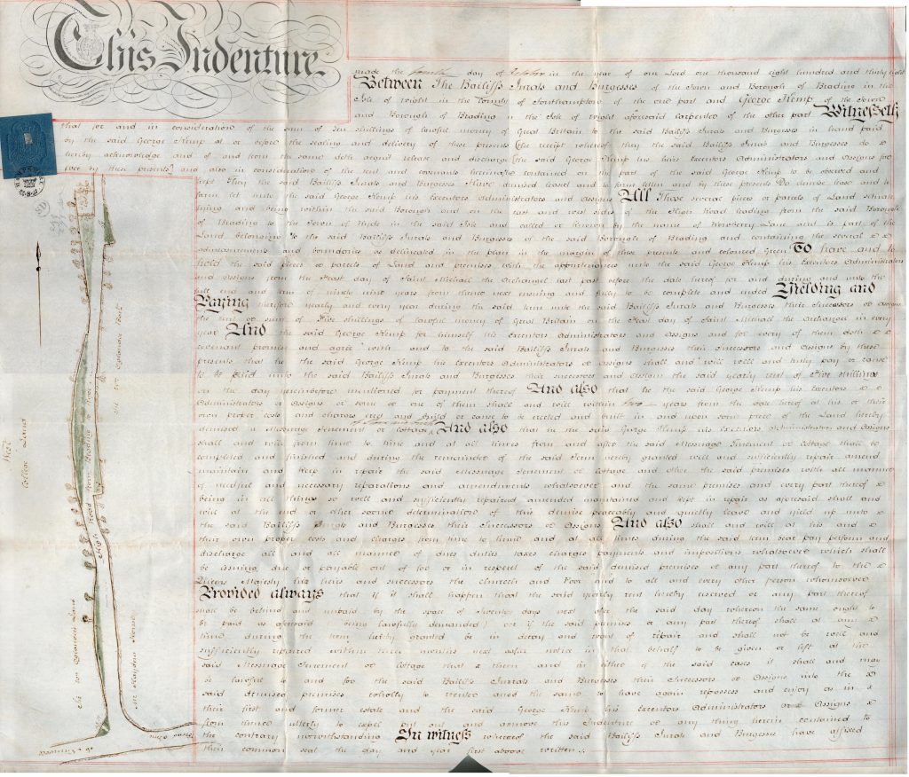
Lease of land from the Bailiffs, Jurats & Burgesses to George Kemp, 1838. Several parcels of land on the High Road from Brading to Ryde.
Click this link for PDF version> BTT 1238-12
This Indenture made the fourth day of … Read More
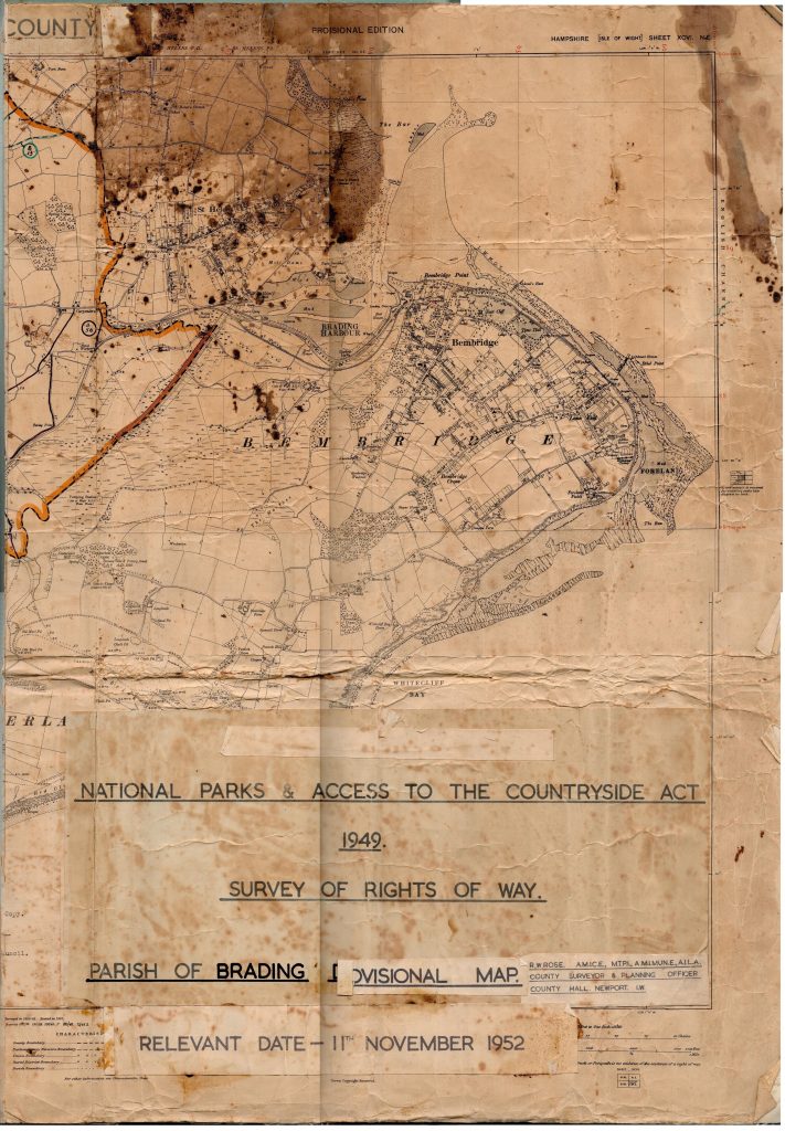
National Parks and Access to the Countryside Act 1949, survey of Rights of Way dated 11th November 1952.
Map in poor condition, image created in two halves.

Click this link for PDF version of left hand side> BTT 1567-23-left
Click … Read More
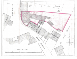
Developers plan for land between Coach Lane, Cross Street and Doctors Lane.
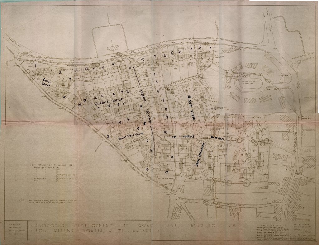
Includes Kyngs Close, Queens Drive, Downs View Close, Park Road, Rose Close, St Mary’s Close, Hawkins Close.
Click this link for PDF version > BTT 1166-1-complete… Read More
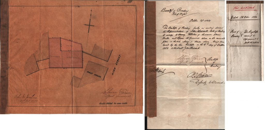
Deed dated October 1880 to assign property behind the malt house from John Riddick to Henry Redstone.
Click for PDF version of this document: BTT 1168-23 complete
Signed by Bailiffs Clem Pain and Alfred Simmonds and A Shaw (deputy Steward).… Read More
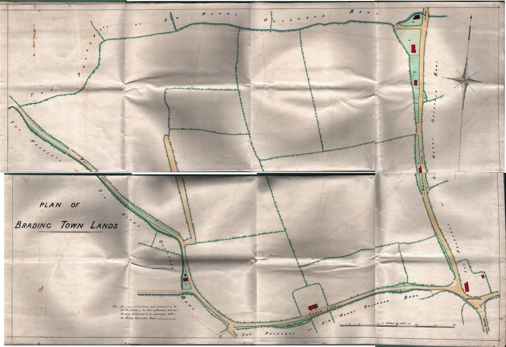
BTT 1168-33 Undated map showing land proposed to be exchanged with Sir Henry Oglander Bart.
Click for PDF version: BTT 1168-33 map
Plan of Brading Town lands showing 18 plots proposed to be exchanged with Sir Henry Oglander Bart. Undated. … Read More
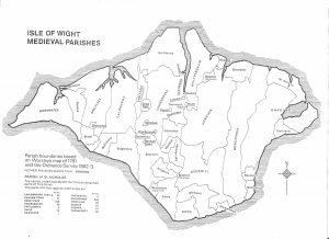
Map of Isle of Wight medieval parishes, based on Worsley’s map of 1781. MP 1120.
Mary Toms (Warder), Bible Christian missionary, her life story.
BCA03 Mary Toms Warder (click to view/download)
Map shows the location of Warder’s Chapel.
St Mary’s churchyard, Brading, Grave D4 153:
Mary, wife of William Warder, died Aug 3rd 1850 aged … Read More